
Horses and their riders alike will love to gently horseback ride along the scenic river stretches of Smith Rock State Park.

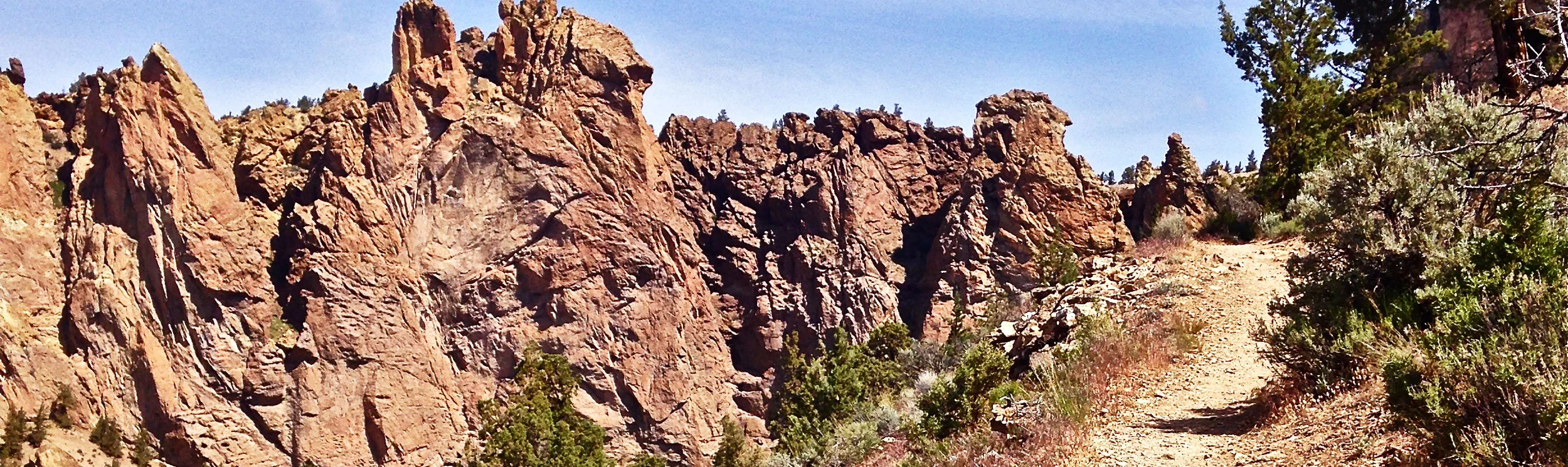
Areas of the Canyon, River, Wolf Tree and Homestead trails where horses are permitted cover a large section of the park. Towering rock spires provide the backdrop to the Crooked River as it carves its way through the canyons.
Join up to the Burma Road Trail and you get great views of the park from across the river gorge. Early morning is best to set out on the trails in the park as you'll need to share them with trail runners, hikers with dogs, and mountain bikers too.
And while they all must yield to horses, the narrow pathways, especially on the hillsides, can be challenging to do so.
To help minimize encounters in the more congested areas, the park has restricted horseback riding in sections on both the River and Wolf Tree trails.
Access to both of these is allowed at horse fords. One is south of the Phoenix Buttress area toward the Southern Tip on the River Trail. The other is east on the Wolf Tree Trail south of the Monument Area.

horseback riders crossing the Crooked River from the Canyon Trail at Smith Rock State Park
smith rock
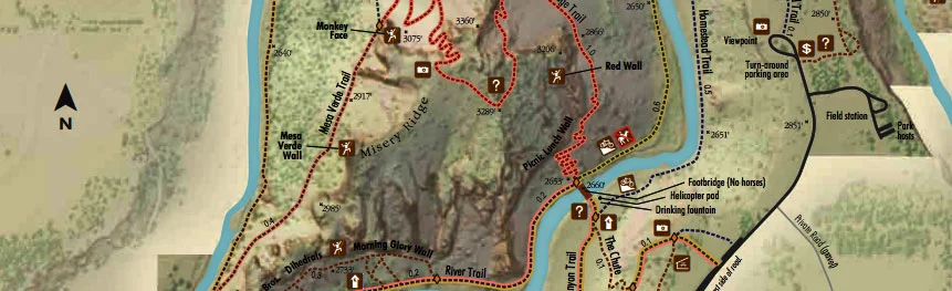
map

no horseback riding across the bridge at Smith Rock State Park
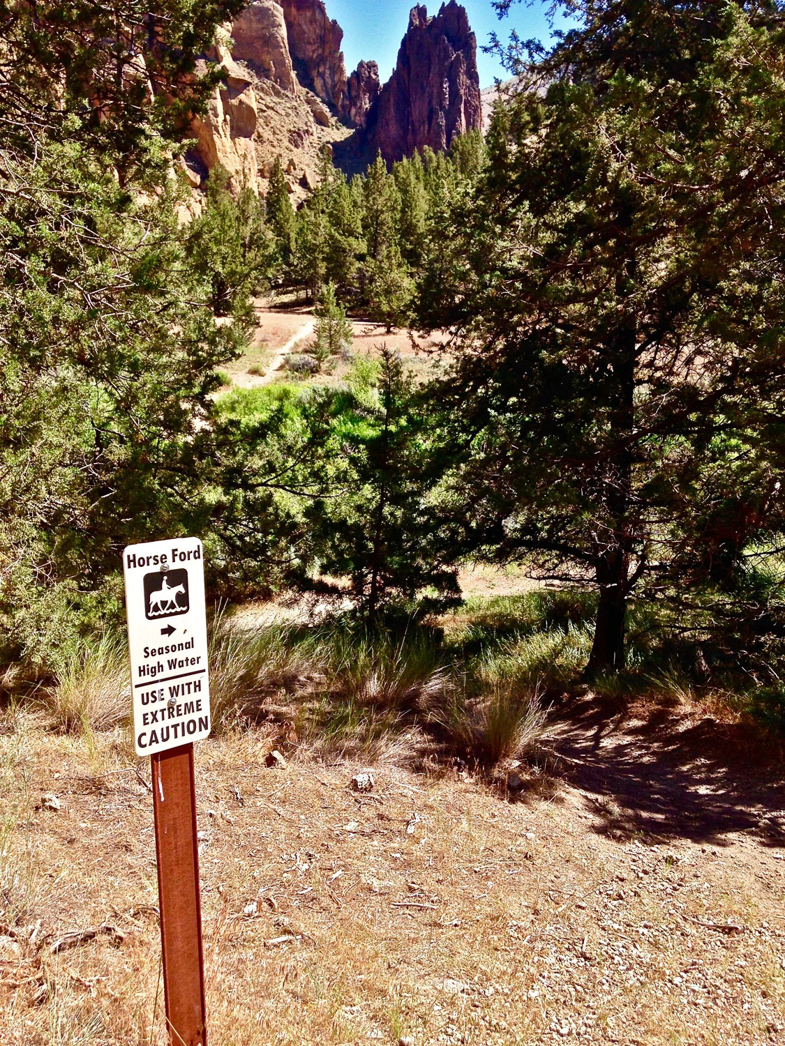
horse ford sign on the Wolf Tree Tree Trail at Smith Rock State Park
JANUARY 24, 2023 NOTICE:
WE REACHED OUT TO THE FOREST SERVICE AFTER OUR EARLIER ALERT ABOUT TARGET SHOOTING CLOSE TO USERS OF THE COLE TRAIL.
Proposed cut off trail from Cole Shooting area—click to enlarge
THE IMAGE IS OF A REROUTE BEING FINISHED UP THAT THEY ARE SAYING CAN BE USED NOW. WE WILL UPDATE OUR FOREST SERVICE MAP ON THE SMITHROCK.COM WEBSITE AS SOON AS IT BECOMES AVAILABLE.
Here’s the Forest Service’s statement:
Thanks for reaching out. This is a long-standing issue we are close to having resolved.
The reroute is cut and available for use, but not complete with logout, drainage, signage and closure of the old portion behind the area of frequent target shooting.
Folks may use the reroute now and in the next few weeks will start finalizing the reroute and get new trail map information out on the web.